



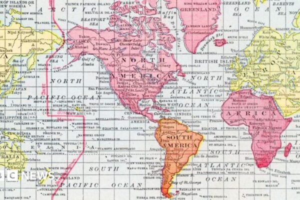
What different world maps get right – and what they get wrong
The now widely used Mercator map was created in 1569 by Flemish cartographer Gerardus Mercator. Its main purpose was to help European sailors navigate the oceans, as cartography Professor James Cheshire at University London College explained. “He wanted a straight line to be drawn on a map to look like a straight line in reality…